 vesseltracker.com
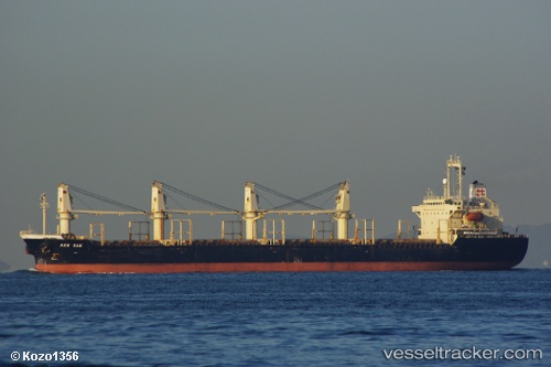
Vessel BAO ANH IMO: 9156759, MMSI: 351158000
UTC, 14.63440, 120.94776, course: 89, speed: 0
UTC, 14.63440, 120.94767, course: 89, speed: 0
2026-02-09 21:30:34 UTC, 14.63439, 120.94771, course: 89, speed: 0
Live AIS position:
UTC. Near Caloocan City),
updated 2026-02-09 21:30:34 UTC.
Find the position of the vessel BAO ANH on the map. The latter are known coordinates and path.
marine traffic ship tracker show on live map
The current position of vessel BAO ANH is 14.63439 lat / 120.94771 lng. Updated: 2026-02-09 21:30:34 UTCDetails:
Last coordinates of the vessel:
UTC, 14.63446, 120.94777, course: 89, speed: 0UTC, 14.63440, 120.94776, course: 89, speed: 0
UTC, 14.63440, 120.94767, course: 89, speed: 0
2026-02-09 21:30:34 UTC, 14.63439, 120.94771, course: 89, speed: 0